
Transforming your business with Aerial Intelligence
At Aero2Astro, our mission is to empower the global transition to sustainable infrastructure and renewable energy through cutting edge drone technology, ensuring efficient and environmentally friendly operations.


How we are Different?
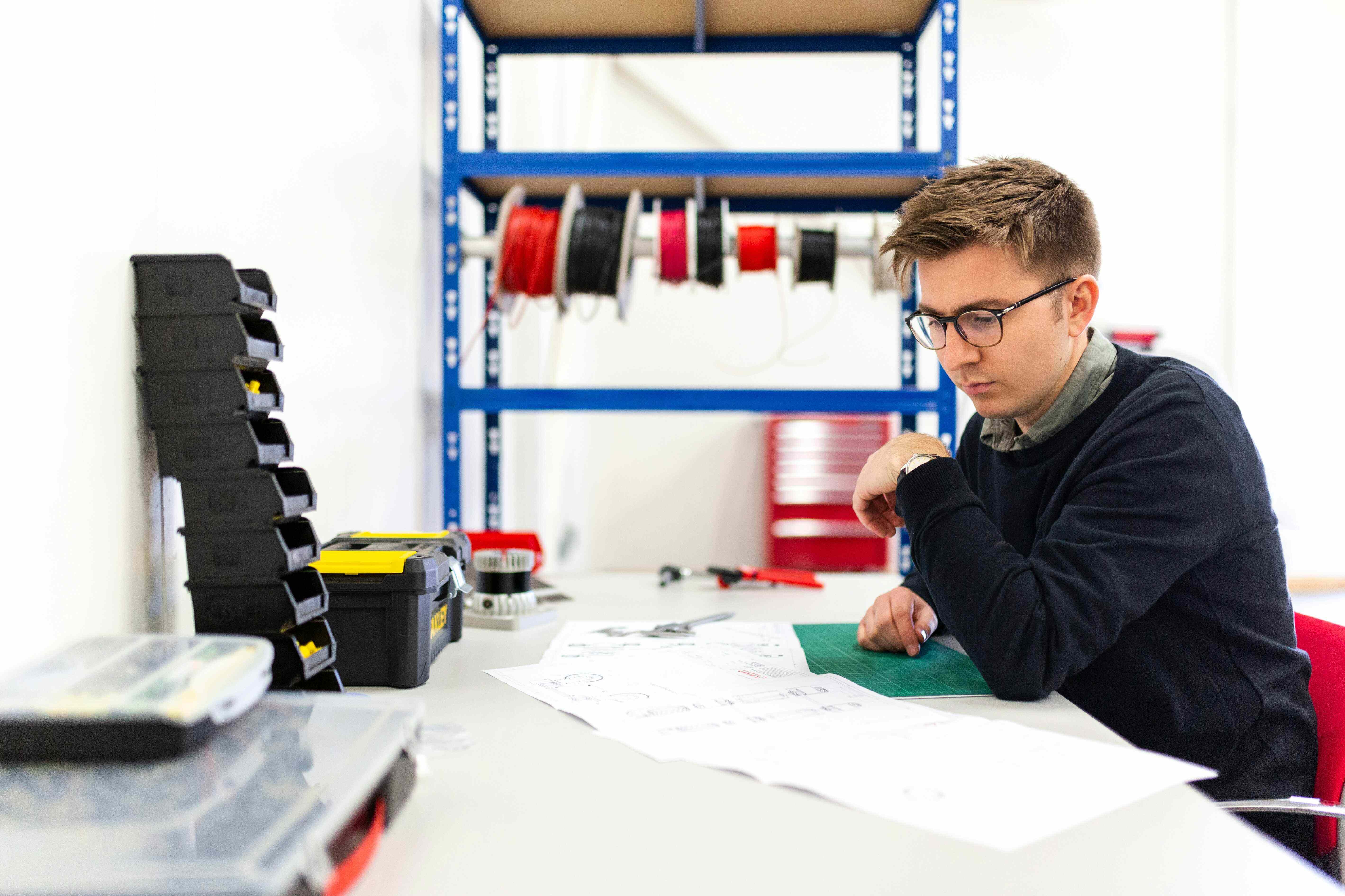
Experienced and Professional Team
Our team of highly experienced Engineers working around the clock to provide you with the best service.

Tailor-made Solutions
Our solutions have adaptability to a wide range of applications with user-specific customization ensuring optimal performance to meet customers' needs.
5X Faster Data Delivery
We have automated the workflow to process and analyse the data collected to deliver on or before time.
Asset Management Platform
Store collected data, Processed Data in a cloud on our platform which can be easily accessible to the clients to manage and collaborate. The platform will also provide the real-time updates of the assets or project.
What We Provide
Partner with Aero2Astro to streamline your operations and leverage advanced drone technology for optimized asset management and project efficiency.
Vision that Connects

Monitor all your assets and oversee projects from one single screen.
- Monitor all your assets and projects from a single screen. Augment site visits with on-demand insights into key metrics.
- Digitize and centralize records for seamless asset management. Assess changes to manage assets through their lifecycle
- Improve operational efficiency and streamline maintenance. Monitor system uptime, reliability, and maintenance costs.
Oversee all your projects
- Monitor all your assets and oversee projects from one single screen.
- Gain comprehensive insights into project progress and performance metrics effortlessly.
Centralize data and documents
- Digitize and centralize records of plans and activities for seamless asset management.
- Ensure transparency and facilitate smooth handovers between project phases.
Optimize asset efficiency
- Improve operational efficiency by integrating comprehensive views of project aspects.
- Streamline maintenance, performance, and enhance asset lifecycle management.


Committed to help you at Every Stage
We understand you, because we're more than just experts — we're family, dedicated to transforming your challenges into successes.
Plan
- Site conditions
- Quantity estimations
- Earthworks required
- Materials needed
- Man Power
Monitor
- Work productivity
- Manage Site
- Progress tracking
- Manpower efficiency
- Compliance
Inspect
- Site activites
- Anomaly detection
- Yield assesment
- Damage alerts
- Compliance
Manage
- Worksite productivity
- Uptime site
- Performance
- Safety
- Compliance
We make your Business Stronger
Engineering
Revolutionize Your Projects with Cutting-Edge Drone Technology
Leverage our innovative drone technology and advanced asset management software to enhance your engineering projects. Achieve unparalleled precision, efficiency, and success with our comprehensive solutions.
Start a conversation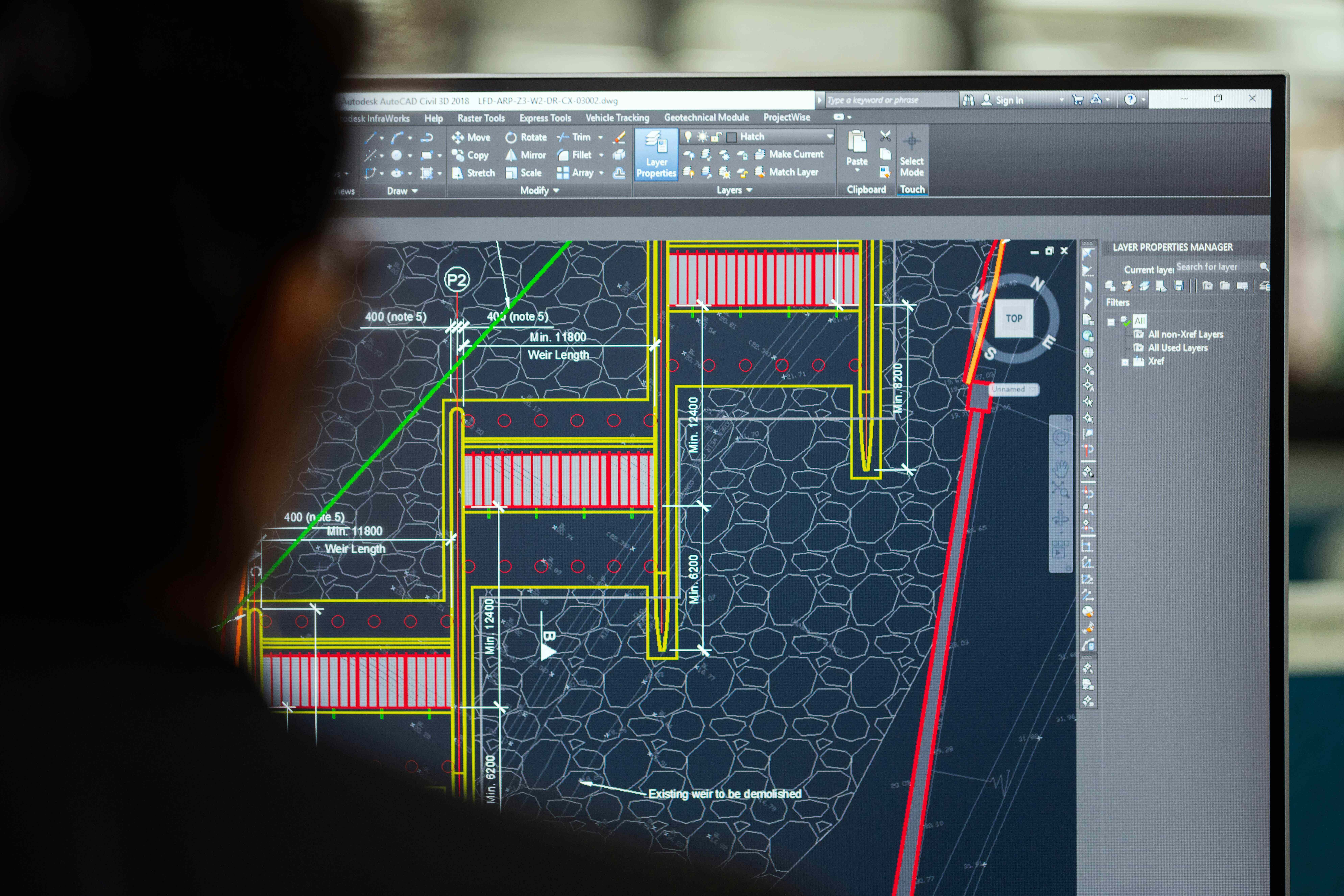
Construction
Transform Your Construction Projects with Advanced Drone Technology
Utilize our state-of-the-art drone technology and comprehensive asset management software to streamline your construction projects. Enhance accuracy, efficiency, and project management with our innovative solutions.
Start a conversation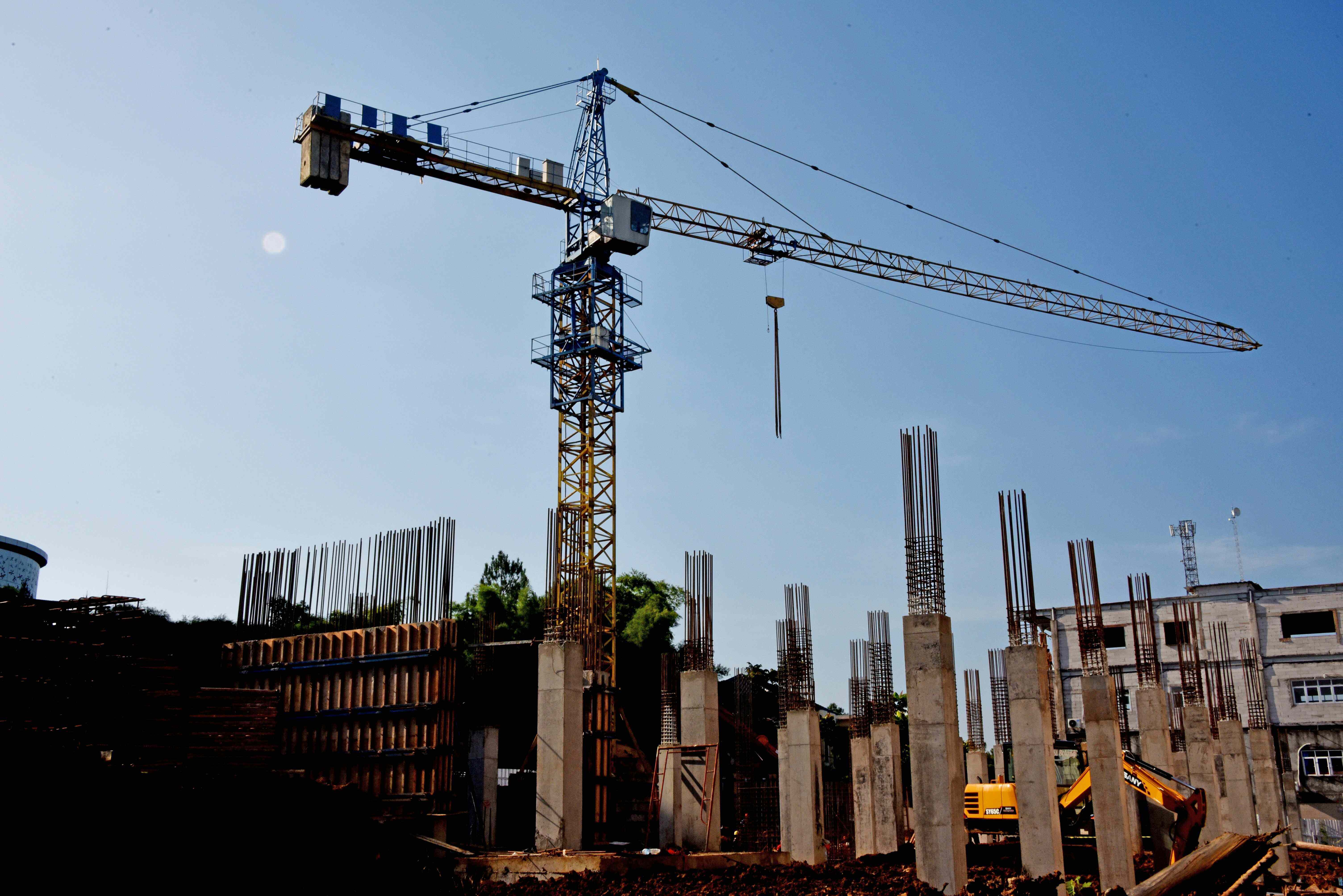
Operation & Maintainance
Enhance Operational Efficiency with Cutting-Edge Drone Solutions
Now optimize your operations using our robust solutions. Improve inspection processes, reduce downtime, and streamline maintenance with our innovative solutions.
Start a conversation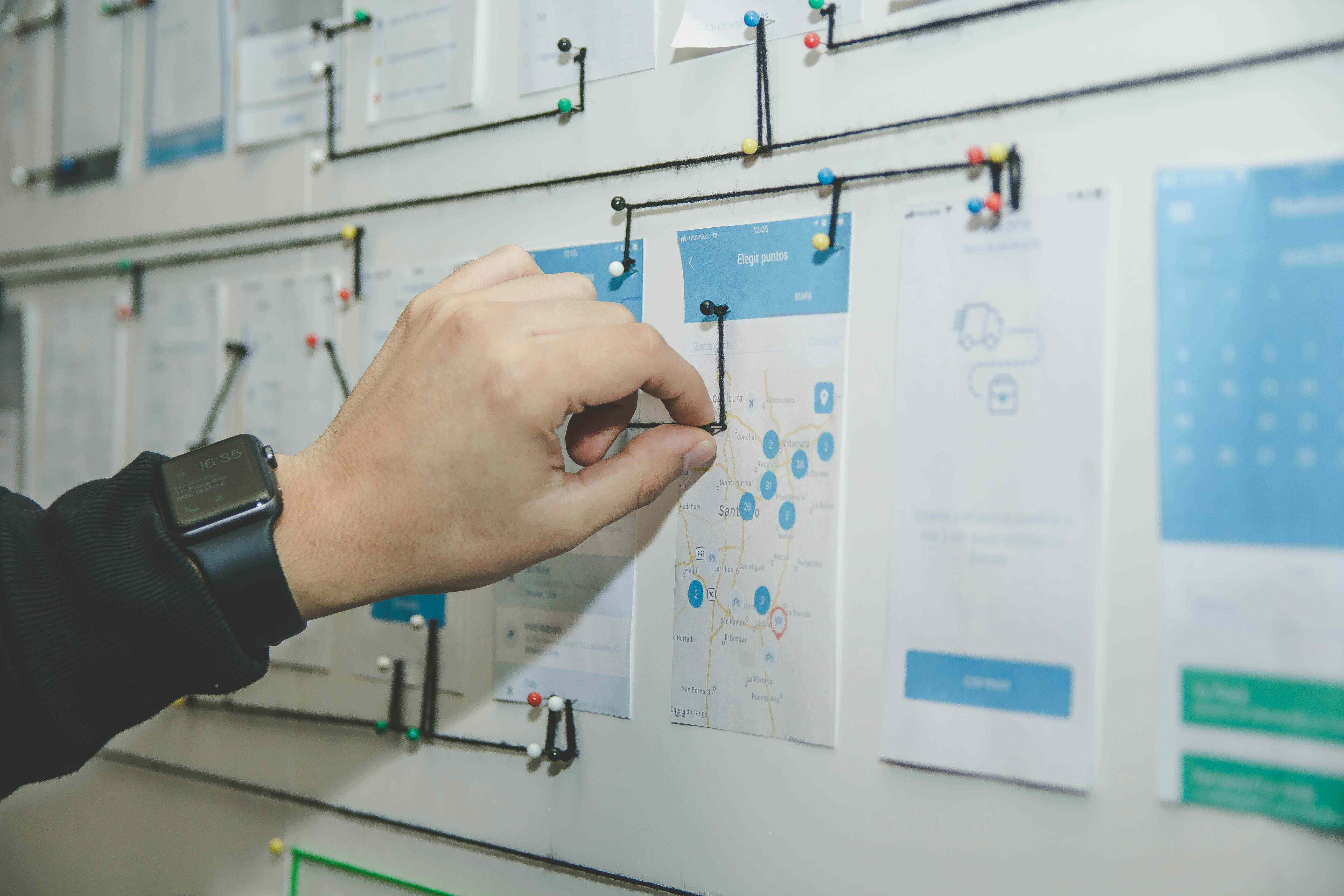
Start your free Demo Now
Free Request a DemoTestimonials
People love what we do and we want to let you know
"Since implementing Lando our business has seen significant growth."
Jack Sibire
Lead Manager, Growio
"I recommend Lando to any business looking for improvement."
Adele Mouse
Product Manager, Mousio
"I can't imagine running our company without it."
Ben Clock
CTO, Clockwork