
Announcing Aero2Astro for Construction.
Manage projects and stay on track with geospatial data
Plan projects, track construction progress and ensure quality control throughout the project lifecycle.
Our Service Sectors
Pre-Bid Planning & Designing
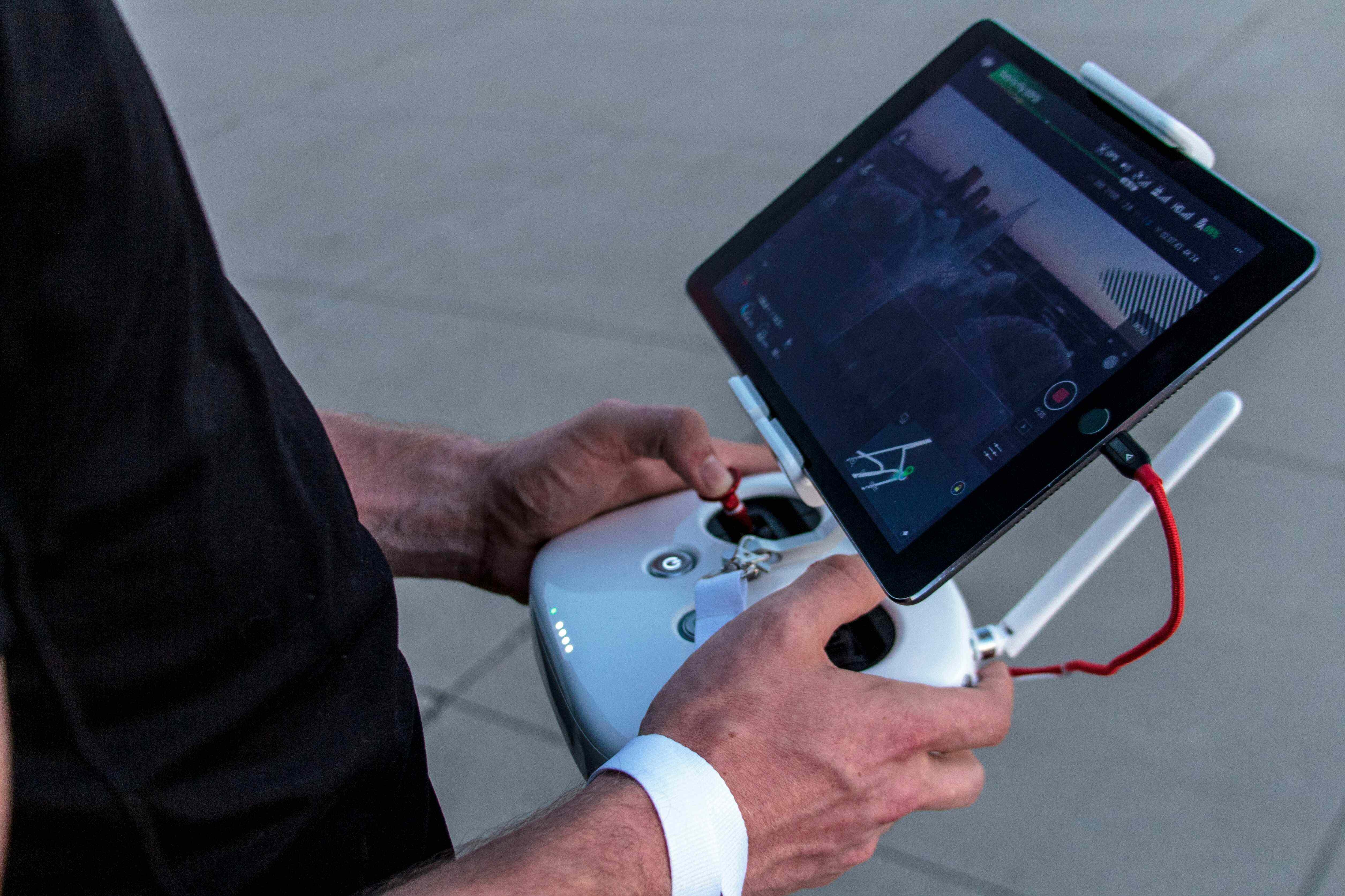
Innovative Drone Project Planning & Design
- Customized planning solutions tailored to road project requirements using drone technology.
- Budget-friendly solutions without compromising on quality for road projects.
- Adherence to industry standards and regulations specific to roadways.
- Efficient processes ensuring timely completion of roadway projects.
- Ongoing support and consultation throughout the road project lifecycle.

Monitoring
Comprehensive Asset Management & Monitoring Solutions
- Real-time asset tracking to ensure optimal performance and utilization of roadway assets.
- High-resolution imagery and data collection for accurate analysis of road infrastructure.
- Integrated software solutions for seamless asset management and monitoring of roadways.
- User-friendly interfaces for efficient monitoring and control of road projects.

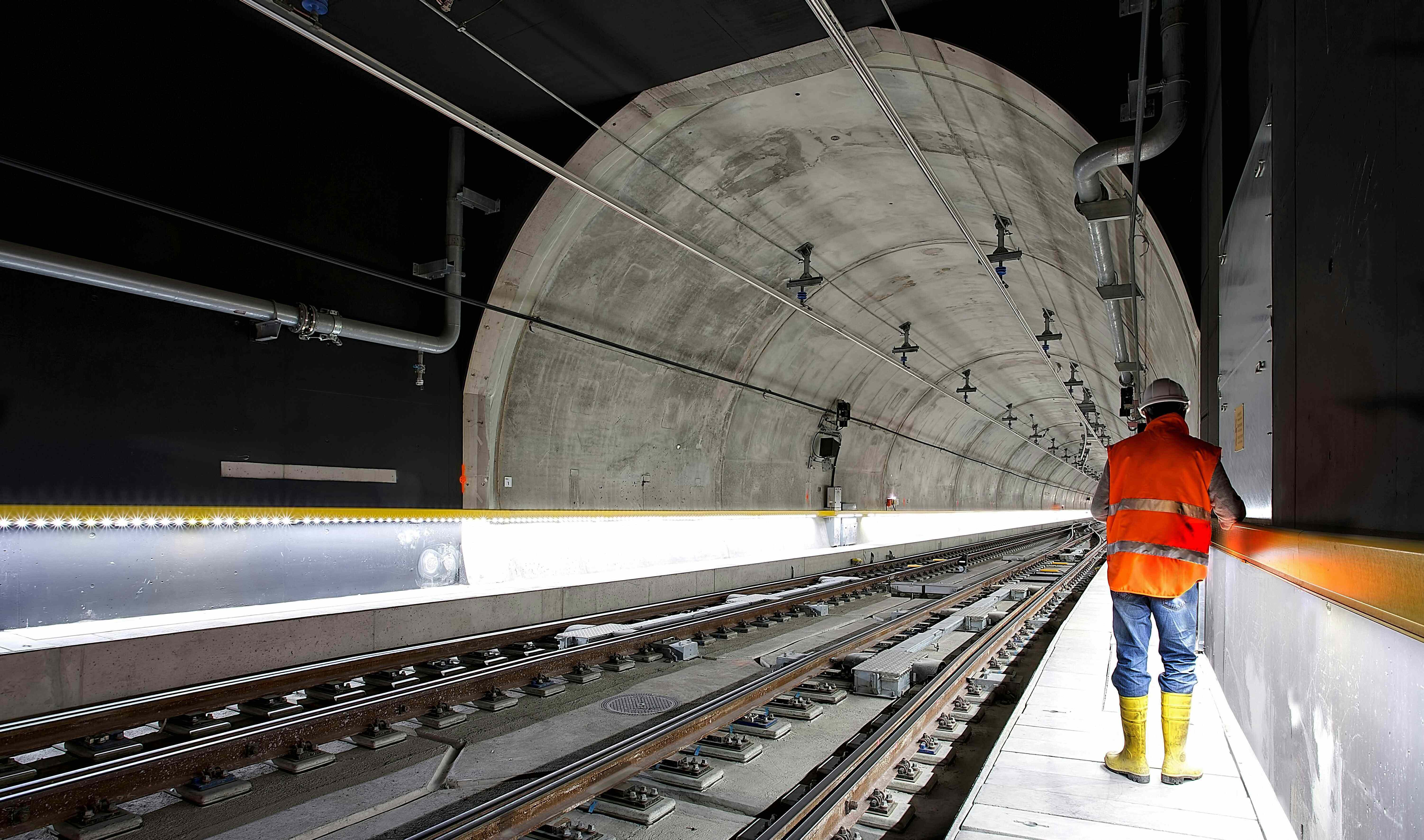
Operation & Maintenance
Expert Operation & Maintenance Services
- Scheduled preventive maintenance to avoid unexpected downtimes in road operations.
- Advanced diagnostics and repair services for all types of road infrastructure.
- Energy management solutions to enhance operational efficiency of road assets.
- Tailored maintenance programs to meet specific operational needs of roadways.
- Continuous monitoring to ensure compliance with safety standards in road operations.


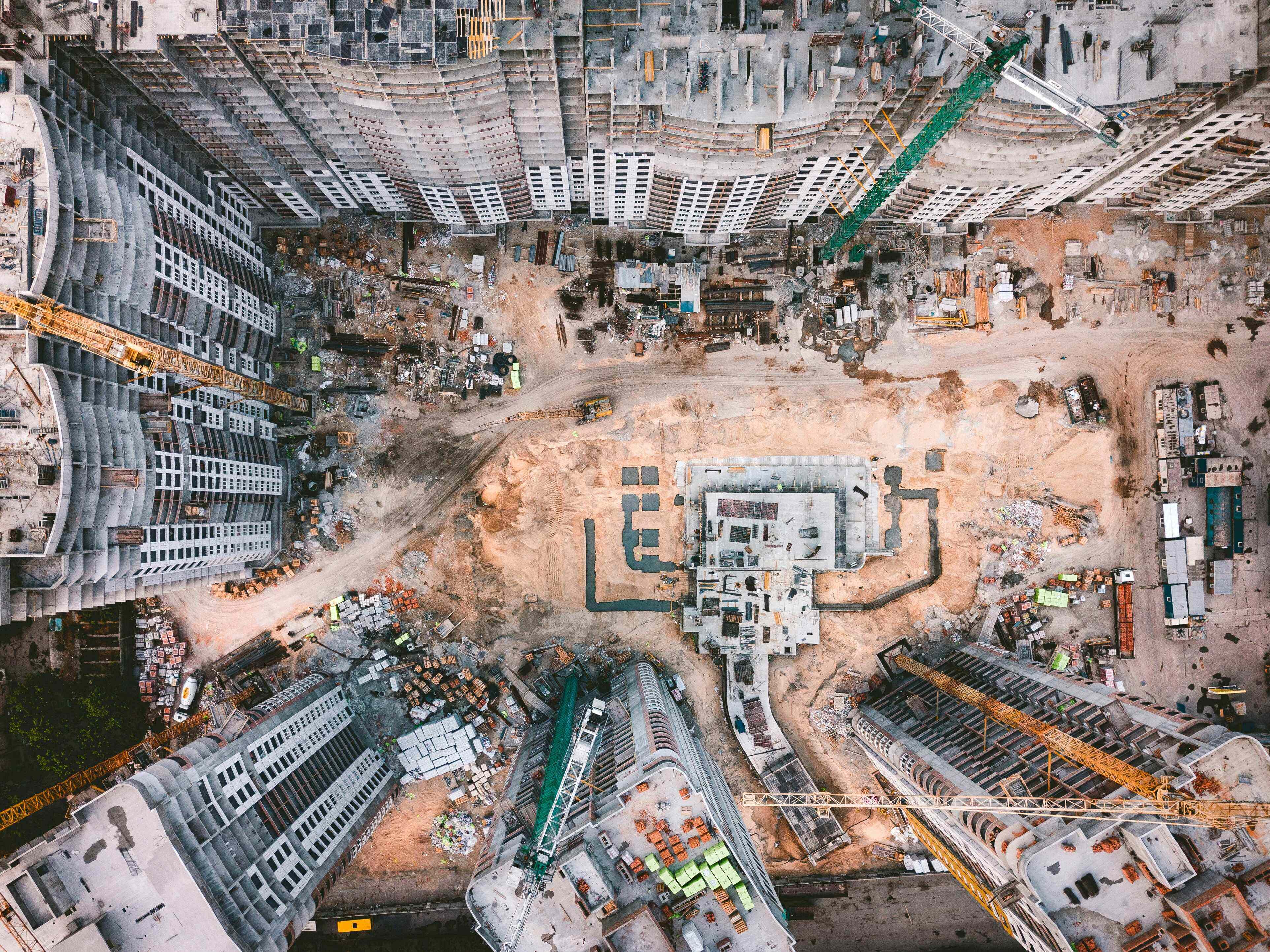
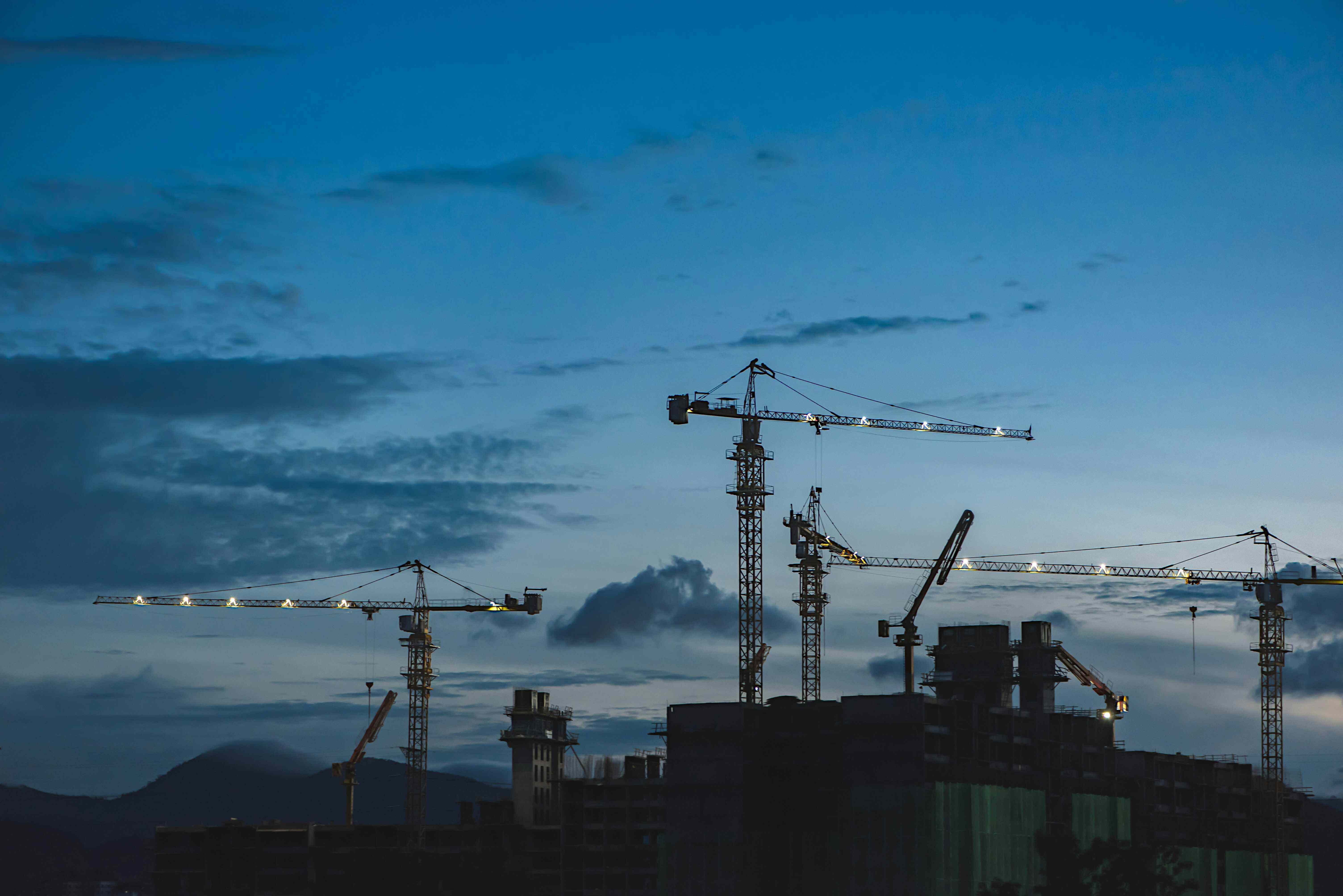
Engineering & Infrastructure
Architectural Construction
Residential Contruction
Commercial Construction
- Select sites for Projects
- Create 3D terrain models for project planning
- Create 2D terrain models for project planning
- Take measurements for projects activities
- Visualize and communicate design concepts with 2D and 3D models
- Track construction progress through 2D and 3D maps and models
- Use geospatial data to inform urban planning
- Utilize detailed as-built documentation for renovation projects
- Create 3D architectural models for design communication
- Conduct facade analysis for condition assessments

- Use geospatial data for residential development site selection
- Track progress over a sites’ development lifecycle
- Defect detection and quality control by identifying issues, errors, or inconsistencies during construction
- Assess and create level, dilapidation and inspection reports, and safety checks
- Create site plans for project documentation and compliance
- Use geospatial data for commercial building site selection
- Defect detection and quality control by identifying issues, errors, or inconsistencies during construction
- Assess and create level, dilapidation and inspection reports, and safety checks
Boost your construction work.
Start using platform today.
With geospatial data, Assets management, reports and visualized with Aero2Astro .